


Other Content
Quick links:
All images and site content are copyrighted to Philip Raggett unless stated otherwise; No form of reproduction or manipulation of these images is authorised.
Home | Accommodation | Car Hire | Restaurants | Safari Companies | Books | Photo Galleries | Charities | Reviews | Advertising | Contact
Safari News
Featured Charity


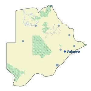
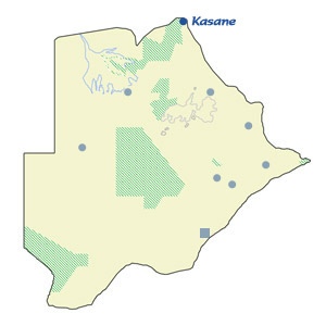
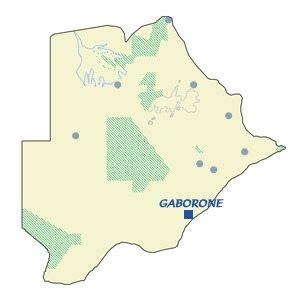
Map of Botswana


NATA
Description and history
This small village, situated 180km north of Francistown, is a popular stop-over destination on the way to Maun and Kasane (both approximately 300km away) further north. The white sand, tall termite mounds and Mokolwane palm trees are a feature of the area around this village.
Features
Due to the number of tourists passing through there are now three filling stations (Engen, Shell and Caltex) close together on the outskirts of Nata at the junction with the Maun road, all of which should accept credit cards.

Home -> Towns & Cities -> Nata
Interactive Map
Click on the place you want to navigate to
Shops in Nata are limited although North Gate fuel station, has a Southern Fried Chicken takeaway along with a shop selling basic food stuff and cold drinks. Engen fuel station has a Wimpy fast food restaurant.
Nata is the best place from which to explore the eastern section of the Makgadikgadi Pans. Nata Bird Sanctuary is only 10km away and self-drive trips here can be rewarding at the right time of year with flocks of Flamingos and Pelicans breeding here each year. Various ducks and waders can be seen during the wet season and the grasslands support a wide variety of birds all year round.

