


Other Content
Quick links:
All images and site content are copyrighted to Philip Raggett unless stated otherwise; No form of reproduction or manipulation of these images is authorised.
Home | Accommodation | Car Hire | Restaurants | Safari Companies | Books | Photo Galleries | Charities | Reviews | Advertising | Contact
Safari News
Featured Charity


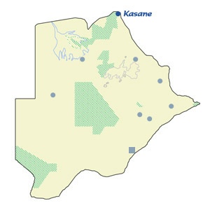
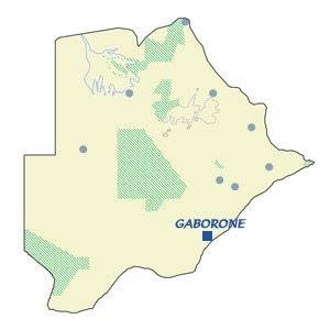
Map of Botswana


FRANCISTOWN
Description and history
Originally established as a mining town as a result of the discovery of gold in the late 1800's, Francistown has grown in importance and is now classed as Botswana's second city despite having a population just short of 100,000. The railway connecting Botswana with Zimbabwe was completed in 1897 and formed an important link for the mining industry. The town originally consisted of just one main street which is still in existence today, built parallel to the railway. Due to its links with Zimbabwe (90km north), and its location as the 'gateway' to Maun and Kasane in the north, Francistown has become an important urban centre and was granted 'city' status in 1997.

Home -> Towns & Cities -> Francistown
Interactive Map
Click on the place you want to navigate to
Features
Being situated on the main road from Gaborone to Kasane means that Francistown has a constant stream of tourists passing through. There are two main shopping centres which are worth stopping at for supplies - the Galo Centre and Nzano Centre.
There are a few other places for eating out including Barbara’s Bistro (behind the hospital) and Spur (by the Metcourt) whilst the Cresta Thapama and Cresta Marang both have good restaurants - the latter is in a nice setting along the Tati river.

